Start and destination
Set the places that bookend the trip, then adjust the line until it follows the roads you came to drive.
Trip planner · The Road Atlas
The route worth driving rarely follows the sensible line between A and B. Plot the start, destination, and every side road that looked suspiciously promising. We will turn the result into an invitation, a memento, a gift, or artwork for the glovebox and wall.
Planner preview
The preview shows the product direction before live geocoding and routing arrive. Enter your own places to see how a route becomes the spine of the artwork.
AUTODYSSEY custom maps
Road trip map preview
3 side excursions marked
Digital · fold · poster
Trip planner
Interstates are what happens when a committee decides the scenery is slowing things down. The planner starts with the destination, then gives the better roads, worthwhile stops, and minor acts of navigational stubbornness a proper place in the route.
Each trip will connect to the existing AUTODYSSEY Garage, community, and feed. The car joins the plan before departure, the group shares updates from the road, and the finished map becomes part of the trip record.
Set the places that bookend the trip, then adjust the line until it follows the roads you came to drive.
Add the overlook, the old highway, the diner, and the road that adds forty minutes for reasons nobody needs to defend.
Choose the car from your AUTODYSSEY Garage so the finished map can carry its name, year, and trip record.
Keep fuel stops, meeting points, overnight halts, and convoy notes beside the route where the group can find them.
Custom maps
Some maps send people to a place. Others preserve the time people got there. The studio will make room for both, with a route at the center and the occasion built around it.
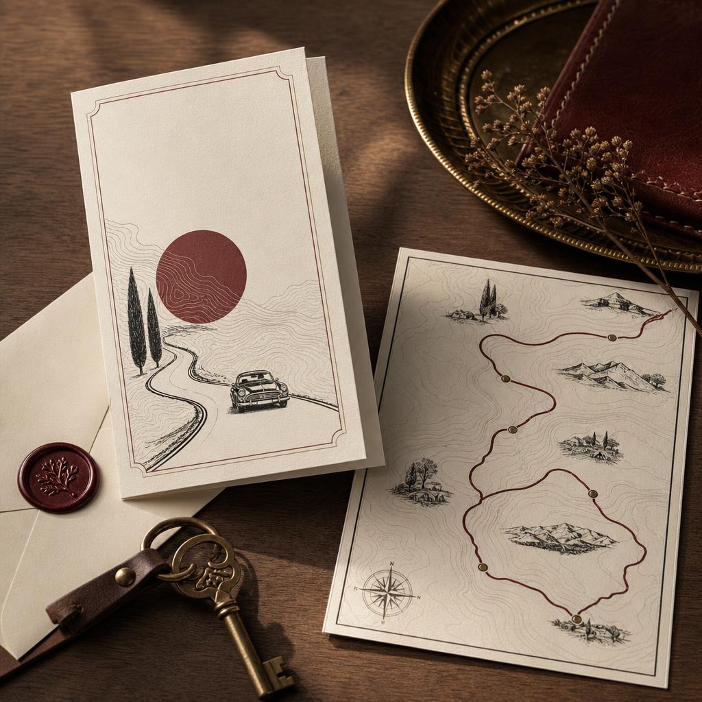
Send guests a route they can follow to the ceremony, party, rally, or dinner. The invitation carries the address, arrival plan, and the roads worth taking before anyone has parked.
Keep the route from a wedding weekend, first long drive, family holiday, or farewell trip. Names, dates, stops, and a short dedication give the finished map its reason to stay on the wall.
Give somebody the road that belongs to them, from the drive where they met to the route they keep promising to take. The car, place names, and message make it personal without making it fussy.
Explore Gift Mapping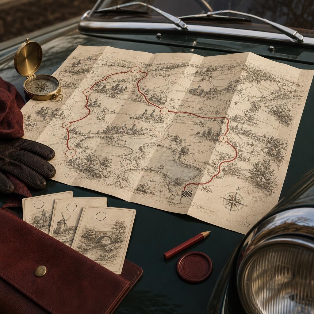
Turn the route into a run of clues, checkpoints, and small discoveries. Each stop can reveal the next place, the next story, or a reason to get out of the car and look around.
Downloads and print
The route can leave the screen as a file, a folded companion for the car, or a poster for the wall. Each format will carry the map-data attribution its license requires.
Download a print-ready PDF and a shareable image for the group chat, the trip page, or the folder where ambitious plans wait for better weather.
PDF and image download
A glovebox map on durable matte stock, with the route on one side and trip details on the other. The planned sheet folds down to a size that suits a door pocket.
Planned 24 × 36 in. sheet
A wall print built around the route, the car, and the places that earned a stop. The motorway can appear too, though it should not expect top billing.
Planned 18 × 24 and 24 × 36 in.
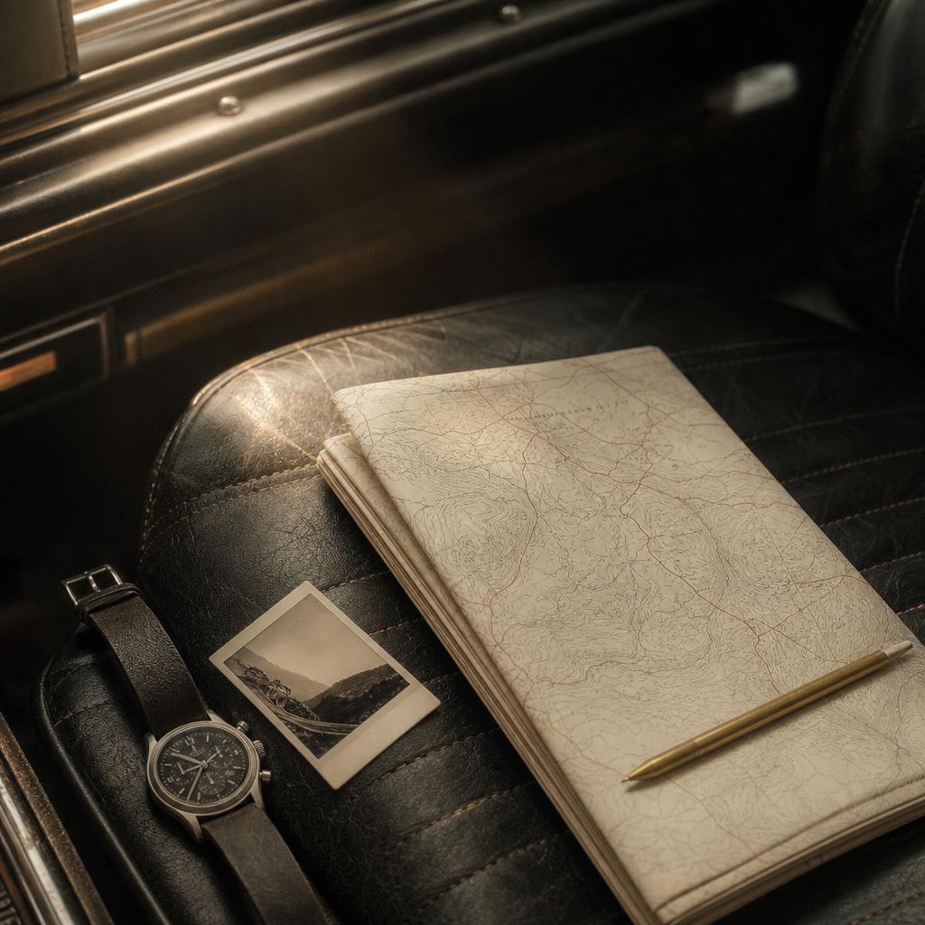
Concept image · final stock and fold pattern remain in testing
Print production
A folded map must survive coffee, glovebox hinges, and the sort of navigator who refolds paper by applying optimism. That calls for a specialist flat-sheet printer, a tested fold pattern, and stock that bends without turning white at every crease.
Posters have an easier life, so they can use heavier archival stock and the same print-studio path already present in the AUTODYSSEY shop. The route artwork stays the same; the prepress file, paper, and finishing change for the product.
Production system
The service needs licensed place search, route calculation, high-resolution rendering, and a print handoff. Each part stays replaceable so the map-data agreement never controls the whole product.
A licensed geocoding service turns places, landmarks, and addresses into coordinates.
A routing engine returns the road geometry, distance, time, and ordered stops for the trip.
Our renderer applies the AUTODYSSEY style and produces high-resolution artwork with bleed, trim, and required attribution.
The approved PDF moves to a poster printer or a specialist flat-sheet printer for folding, packing, and delivery.
Provider review
Map data comes with a license, and paper does not make it disappear. Mapbox directs print users to its sales team and requires attribution. MapTiler limits ordinary cloud-plan printing to internal A4 material and places commercial derivative work under a custom agreement.
OpenStreetMap data permits commercial use under the Open Database License, with visible credit and database obligations. Its public tile servers do not permit bulk production use, so a commercial map product must use a suitable provider or a rendering stack we operate.
The digital release can move first once geocoding and routing terms are approved. Paid prints remain in beta until AUTODYSSEY signs the map-data agreement, confirms every attribution line, and proves the printer’s prepress and folding workflow. This summary is a product review rather than legal advice.
Source terms reviewed August 24, 2026
Start with the route sketch, keep the detours, and make something the glovebox will remember after the satnav has forgotten the whole affair.